
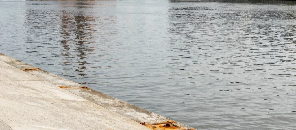
The simplest way to get oriented at the Bassins à flot is to let the water set your pace. Begin along a public quay, take in the basin’s scale, and then look inland at the different generations of buildings. This is a way to read the area, not a fixed route: access, works, and public-space arrangements can change.
Use the water as a guide
The open basin makes it easier to see relationships that are less obvious on a street map: the distance between the quay and a building, or the way an industrial structure stands against newer development. Walk at a measured pace and stop where the view opens. Keep to public routes and follow posted signs, especially where works or restricted areas affect access.
Pause at the major landmarks
The former submarine base and the Cité du Vin are useful points of reference in the wider district, each marking a different relationship between Bordeaux and the waterfront. The base carries the weight of wartime infrastructure and its present cultural use; the Cité du Vin is a contemporary landmark on the riverfront. Treat them as orientation points rather than assuming every nearby space or route is open.
Plan for the day you visit
For a longer outing, check current public-transport information, venue access, and any notices about construction before setting off. The district is changing, so a route described elsewhere may not match conditions on the ground. Bring a map, leave time to look across the water, and let verified access—not an old itinerary—decide the final path.