
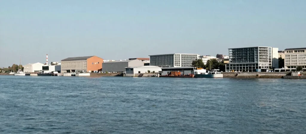
At the Bassins à flot, begin at the water’s edge. The broad basins and their quays were shaped for port activity, and they still give the district a different scale from the streets inland. This is an independent guide to the neighborhood, not an official city channel; our starting point is what can be seen and checked on the ground.
Start with the basin
Stand where you can see both the water and the built edge around it. The basin is not simply a scenic foreground: it is part of the infrastructure that made this a working waterfront. Its open surface also makes change unusually visible, because new buildings and older industrial fabric share the same long view.
Notice what remains
Look for the practical forms of a port landscape: hard quay edges, wide openings, and buildings whose robust materials speak to storage or industrial use. Not every old-looking structure has the same history, so visual resemblance is a prompt to investigate, not proof of a building’s former purpose. The strongest reading comes from combining what is on site with reliable historical records.
Read the present as a layer
Contemporary housing, public spaces, and cultural destinations now sit within the former port landscape. That change is real, but it does not make the industrial story disappear; in some places, the older scale and materials remain part of the setting. On a walk, compare the water-facing edge with the streets behind it, and note where the district changes character.